Map of air alarms of Ukraine: online interactive map

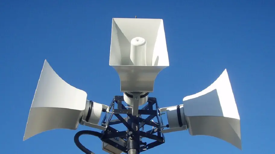
Nowadays, our traditional and peaceful life has been disturbed by the sounds of sirens. During an air raid, we have to hide in a safe place to save our lives.
So the Ukrainians have developed several sites for tracking on the air alert map online in Ukraine.
We have compiled for you a list of air alarm maps and described the conventional designations and key features.
Here is a complete list of interactive maps of air alarms in Ukraine:
- Official Air Alert Map
- Air raid
- Online map of air alerts of Ukraine
- Map of air alarms — isMap
- Map of air alarms kopiyka.org
Air Alert Map – official map - map.ukrainealarm.com
Here are some of the key features:
- Real map: The map is updated in real time with data from government agencies to show an accurate picture of air alarms throughout Ukraine.
- Alerts: Users may receive push notifications to their phones or emails when an air alert is issued in their area.
- Different types of alarms: The map distinguishes between different types of alarms, such as an air threat, an artillery threat, a street fighting threat, a chemical threat, and a radiation threat.
- Filters: Users can filter the map by region, district or settlement to see only the information that is relevant to them.
- Legend: The map has a clear legend that explains the different colors and symbols used to represent different types of alarms.
Map – Air alarm - alarmmap.online
On the map, you can see not only in which regions there is an air alert, but also where there is a danger of chemical damage, a fire danger, a threat of flooding, a threat of artillery shelling, and a threat of gale force winds. You can switch to dark or light mode. If it is not displayed – see the link.
Notations:
- In yellow areas of increased attention are marked.
- In green color – chemical danger.
- Light pink – air alarm in the city.
- Darker pink – anxiety in the community.
- Dark pink – air alarm in the area.
- Red – anxiety in the region.
Online map of air alerts of Ukraine - war.ukrzen.in.ua/alerts
If the map is not displayed, follow the link. This map works with information from the channel Air alarm in Telegram.
The map is updated every 25 seconds. You can also view the start time and duration of the air alert in each region on the service.
Notations:
- Red – air alarm.
- Grey (or black) – there is no anxiety.
- White (or light gray) – no information.
Map of air alarms — isMap - vadimklimenko.com/map
Vadim Klimenko developed a site called isMap using the open international OpenStreetMap service .
Notations:
- Orange – air alarm.
- Green – there is no anxiety.
- Grey – no information.
To leave a comment, please log in.
"Online map of air alerts of Ukraine" is the map of alerts that I've been looking at since the beginning and it's probably the most convenient
This is an incredibly powerful use of technology under distressing circumstances. It's heartening to see how innovation can provide some sense of control and safety in such uncertain times. Stay safe, everyone!
Цікава інформація про карту тривог в Україні! Чудово, що є так багато варіантів для оновлення стану повітряних тривог. Може варто додати також відгуки користувачів про кожен сервіс? Це допомогло б краще зрозуміти, яка мапа повітряних тривог України найбільш точна та корисна.